BART
Penitencia Creek Trail
September 1, 2013 16:13
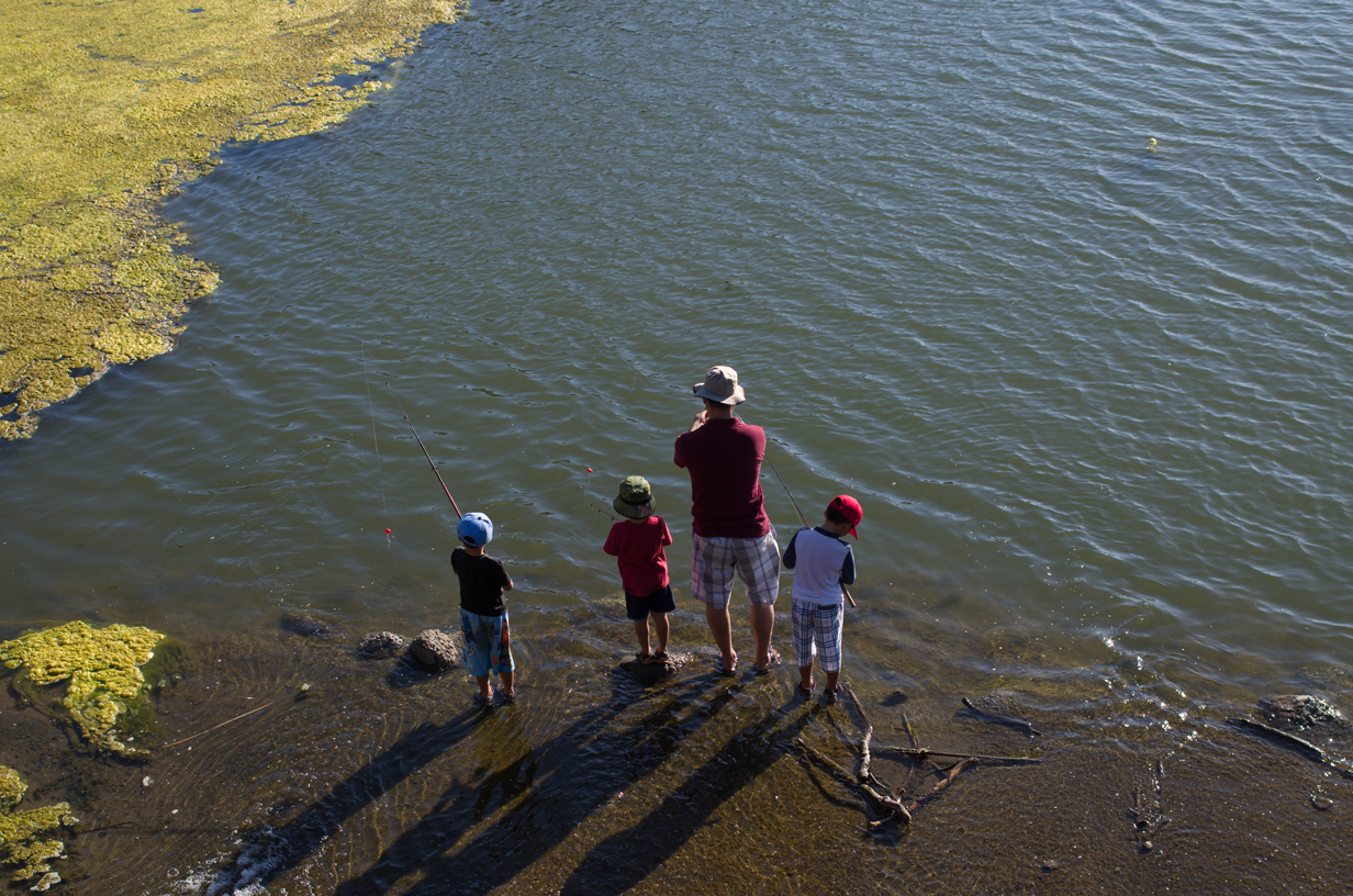
This is a section of trail I’ve both walked and biked many times directly from my house, so it was naturally a good place to start the circuit of the BART. Just past the trail’s start are the percolation ponds that replenish groundwater and feed Penitencia Creek in the dryer months. It’s not uncommon to see both waterfowl and anglers out here seeing what they can catch.
 .
.
Once past the ponds the trail sticks to the side of the creek. There is a stoplight crossing at White Road. From there the trail can be followed along the creek, or in the more open area. This is Penitencia Park (a city park), which covers a space from the creek all the way to Berryessa Road. The trail to the right can be followed around a small pond or ignoring that side trip, back to where the creek crosses under Penitencia Creek Road. In this, one of the largest grassy areas of the park, there’s a wide view of the hills and Alum Rock Canyon. 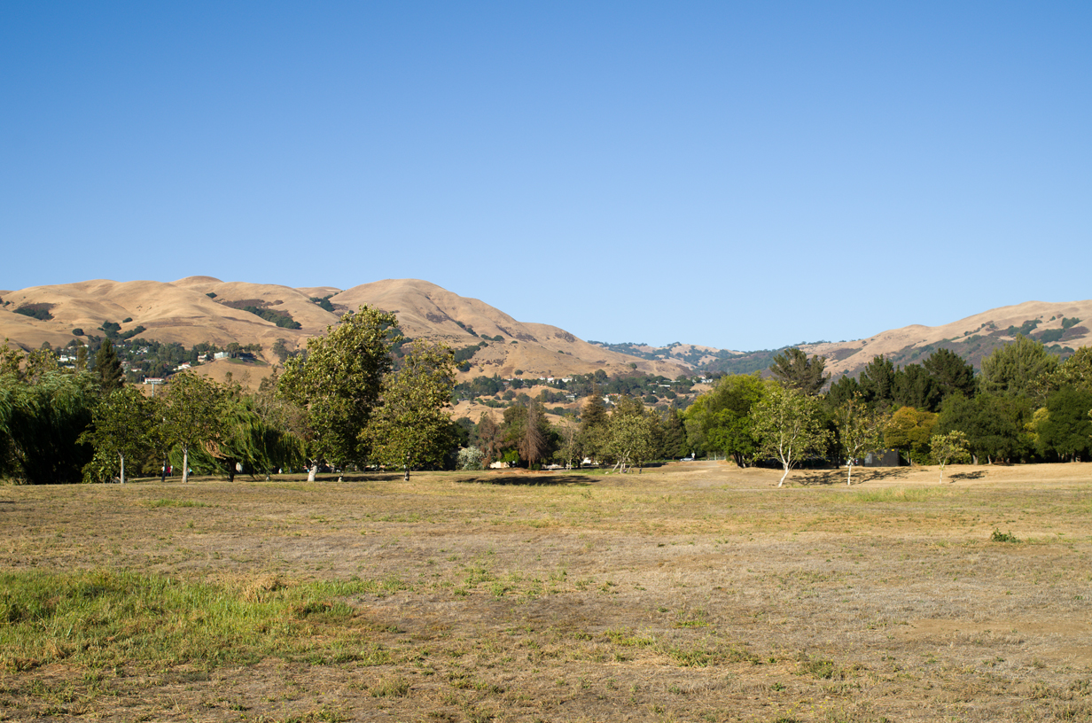
After crossing at the crosswalk, a paved trail runs on the southern side of the creek. Once it nears Capitol Ave it crosses a bridge, and the paved section heads toward Penitencia Creek Road, which is one point to cross. I always prefer to follow the dirt path that sticks closer to the creek and then cross south of the creek at the signal light (Gilchrist), just past the VTA Metro stop.
West of Capitol the paved section resumes along the south side of the creek and eventually heads under the freeway. As you get to the undercrossing you’ll notice (especially if walking) that the trail level is well below the creek level. In rainy weather this may be become flooded, so keep an eye out. If the area is impassable, Mabury Road to the south (about a quarter-mile down Capitol) is the nearest overpass.
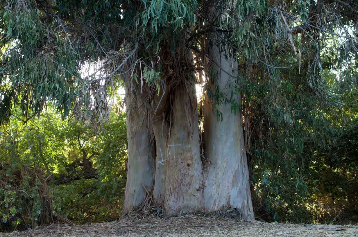
After passing under 680 the trail moves a bit away from the creek and continues opposite condominiums on Mossdale Way. There is one of the largest Eucalyptus I’ve ever seen here, close by the creek.
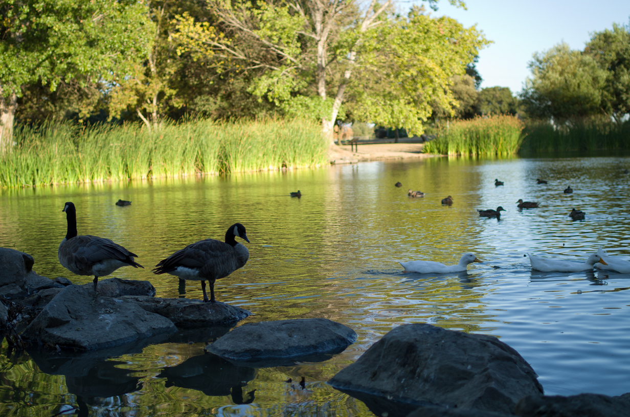
There is another crosswalk at Jackson Avenue, and on the other side is the last large park section, Mabury Park. This park contains another, more shade-covered pond situated on the southeast side of the creek which seems to be home to many more birds than the other ponds. Given that it’s in a more visible location, this park tends to attract more visitors than the city park earlier on the trail. The other side of the creek was formerly unused (and is still partly in that state) but I noticed a new playground is under construction; so I imagine there will be trails eventually on that side as well. The creek is not deep and there are at least a couple places where fording is easy if you wish to see what’s there. Away from the creek is the Berryessa Community Garden (only open to those who have plots in it).
Penitencia Creek actually crosses under the road here but turns back a short ways after that. At this point the trail is simply the sidewalk on Mabury Road. There is a swath of undeveloped park land but no clear trails that run east-west in this section.
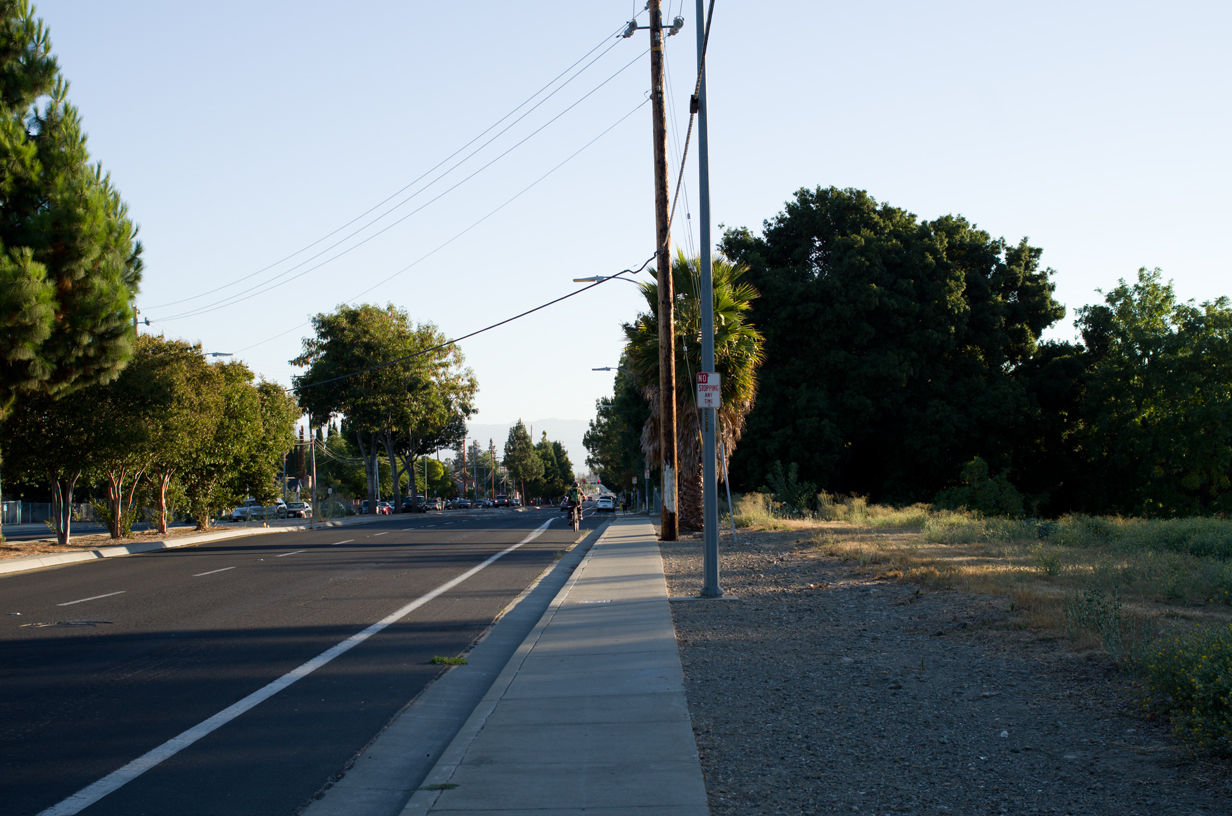
After about a quarter-mile the trail once again turns to follow the creek. A brief paved section runs along on the southwest side of the creek, edged by apartments. About halfway through an abandoned, fenced-off concrete bridge marks an older way of crossing into the strip of park. This section then passes an uninteresting vacant lot before finally ending at a footbridge along King Road. The bridge is rather nice-looking, especially in comparison to the mostly uninteresting and urbanized section of the trail here.